

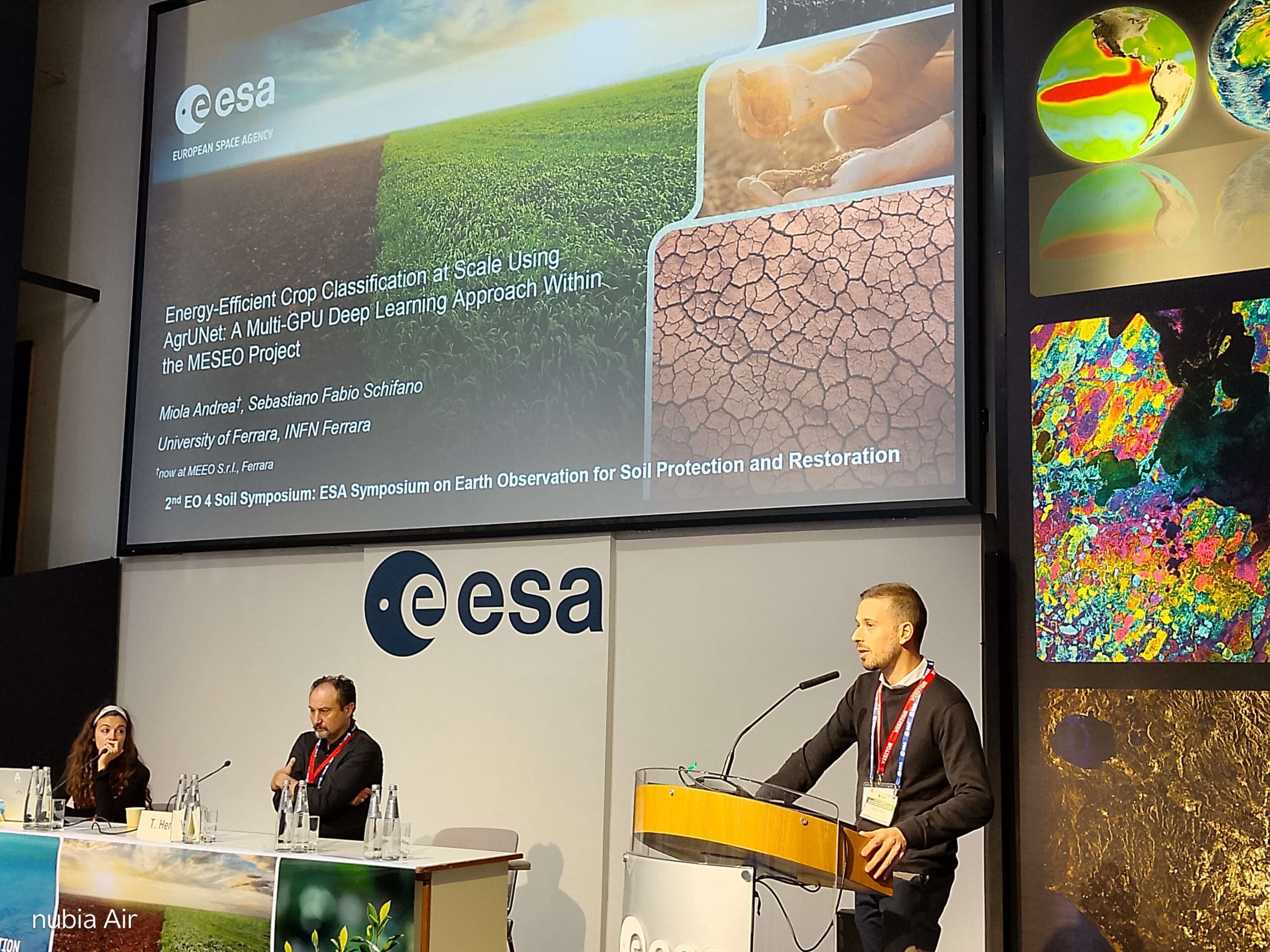
MESEO Showcases Energy-Efficient AI for Crop Mapping at the 2nd EO for Soil Symposium
On Friday, November 6, 2026, the University of Ferrara (UNIFE) took part in the 2nd EO for Soil Symposium – ESA Symposium on Earth Observation for Soil Protection and Restoration, held from November 4 to 6, 2026, at ESA-ESRIN in Frascati (Rome).
During the event, the paper “Energy-Efficient Crop Classification at Scale Using AgrUNet: A Multi-GPU Deep Learning Approach Within the MESEO Project”, authored by Andrea Miola and Sebastiano Fabio Schifano (UNIFE and INFN Ferrara), was presented in Session A2, “Operational Soil Intelligence: Agriculture, Degradation & Decision Support”, moderated by Tom Hengl (OpenGeoHub) and Melissa Latella (CMCC Foundation).
The presentation focused on AgrUNet, a deep learning model developed within the Horizon Europe MESEO project to generate crop maps from Sentinel-2 image time series. These maps provide a valuable foundation for soil monitoring, as crop types and rotations influence land cover, erosion risk, and nutrient and carbon inputs.
In line with one of MESEO’s core objectives of green computing, the model was evaluated in terms of both computational performance and energy consumption, including the associated carbon footprint, using latest-generation GPUs.
Tests performed on the UNIFE and INFN COKA cluster, equipped with four NVIDIA GH200 nodes, showed that AgrUNet can process more than 1,600 images per second. Compared with the benchmark model in the literature, AgrUNet is up to 2 times faster and more energy-efficient. Furthermore, switching from CPU to GPU processing reduces energy consumption – and, proportionally, CO₂ emissions – by 96% for each classified image.
The presentation also showcased the operational deployment of AgrUNet within the MESEO platform, using GMV’s Prodigi® orchestrator. As a practical example, a Sentinel-2 tile covering approximately 12,000 km² in Austria can be mapped in about 30 minutes, achieving an accuracy of 87% in a country that was not included in the model’s training data.
These results demonstrate the potential of combining Earth Observation data and energy-efficient deep learning approaches to support large-scale crop mapping and contribute to the development of operational solutions for soil monitoring within the MESEO project.
- UNIFE
- November 11, 2026
- 4:00 pm